Case Study Details
Challenge
Difficult to capture gains from road network improvements, and no bandwidth to dedicate resources to analyze haul route data.
Solution
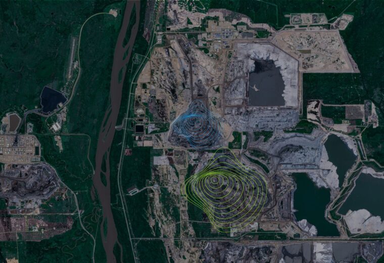
The SmartRView platform combines high-accuracy fuel consumption data with measurements of road grade, vehicle speed, position, motion, and altitude to construct visual representations of the haul road networks. Using these tools, mining professionals can generate evolving, easy easy-to-understand maps to target corrective actions that reduce fuel use, GHG emissions, and accelerated equipment wear. Cascadia Scientific continuously supports clients in identifying and correcting hot spots to maximize efficient and productive operation.
Results
In the past year, four hot spots were uncovered and corrected, resulting in direct cost savings of USD 1.4M, a CO2 reduction of 9000 tons and indirect benefits to equipment health and operator safety.


